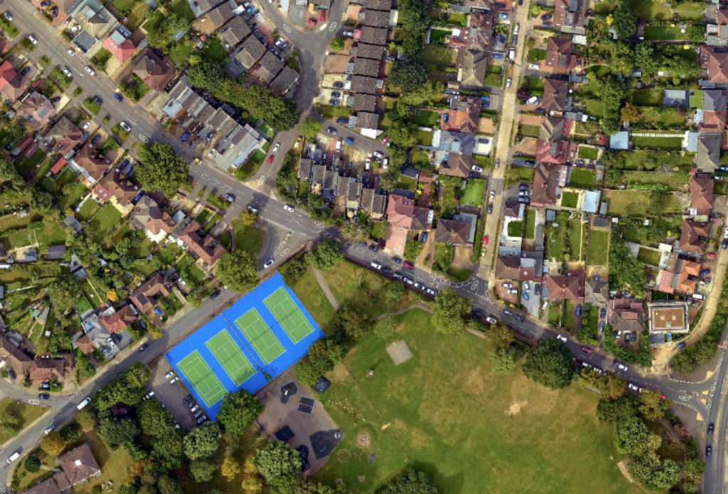
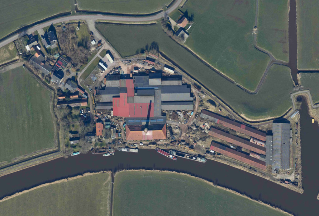
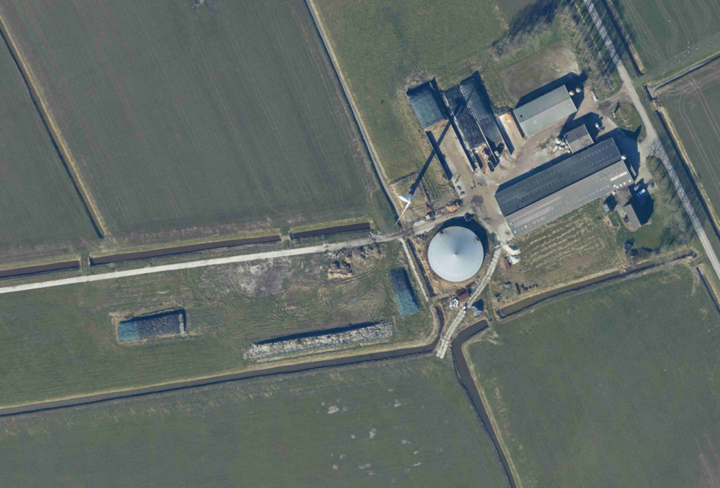
An orthophoto is an aerial photograph or satellite imagery that has been geometrically corrected to provide a uniform scale, allowing for accurate measurements and representation of the Earth’s surface.
At Graphgeo Spatial, we specialize in delivering high-quality Orthophoto production services that cater to a wide range of applications. Our expertise in digital photography and aerial Orthophotography we create fast, robust, and dynamic photogrammetric representations. enables us to produce accurate and timely deliverables using diverse representation techniques.
Our Team in-house team of over 30 plus experienced engineers, with a minimum of 3-6 years of experience, work on a vast range of projects for global clients. We’ve successfully delivered highly complex and large-scale projects, showcasing our expertise in Orthophoto production solutions.
Ortho Photo Workflow
Project Set Up: Initiating your project with precision and care
Ortho Rectification: Correcting for distortions and ensuring accuracy
Seamline Generation: Creating seamless mosaics
Seamline Editing: Refining and enhancing the seamlines
Mosaicing: Combining images for a comprehensive view
Color Balancing: Ensuring consistent color representation
Distortion Fixing: Correcting for distortions and ensuring accuracy
Edge Matching: Seamlessly integrating images
Tile Cutting: Dividing images into manageable sections