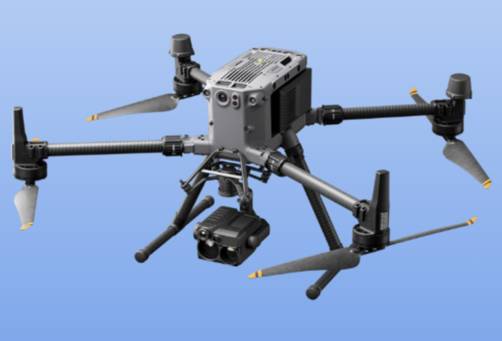
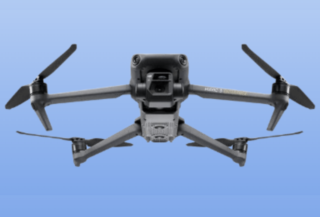
An Unmanned Aerial Vehicle (UAV), popularly known as Drone, is an airborne system or an aircraft operated remotely by a human operator or autonomously by an onboard computer.
At Graphgeo, we’re at the forefront of Unmanned Aerial Vehicle (UAV) technology, providing cutting-edge drone-powered solutions that transform industries. Our highly-equipped UAVs, combined with expert GIS specialists, enable us to deliver precise and reliable data through UAV mapping, inspection, and surveying.
Our UAV Solutions;
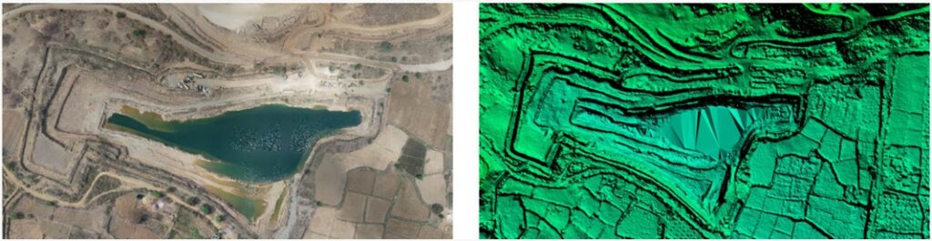
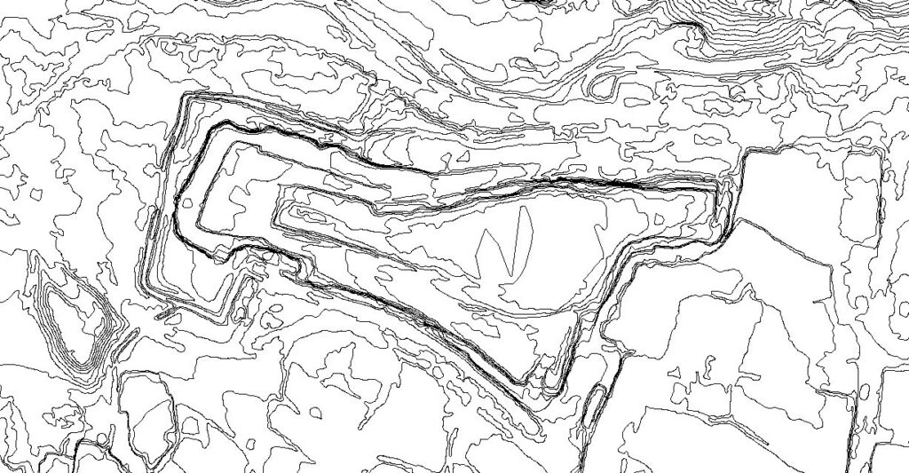
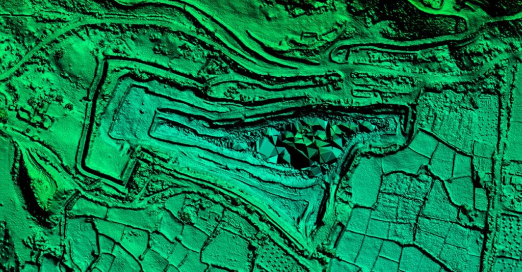
We achieve centimeter-level accuracy in our projects, representing UAV solutions through various topographical maps, including:
Digital Terrain Models (DTM)
Digital Surface Models
Contour Maps
Orthomosaic Maps
3D Point Cloud
Benefits Outsourcing your projects of UAV services to us;
Enhanced cost-effectiveness
Expedited access to reliable and widespread information
Sound decision-making for industries
Advanced Capabilities – Our robust computing server quickly processes large amounts of aerial data while maintaining quality. Leveraging Artificial Intelligence and Machine Learning, we achieve up to 98% accuracy in:
Volumetric measurements
Crop yield estimation
Damage detection
Superior Outcomes
Our UAV mapping drones, aerial UAVs, and UAV image processing capabilities ensure superior outcomes for our clients. With our expertise and technology, we’re revolutionizing the Geospatial land and empowering industries to make informed decisions.