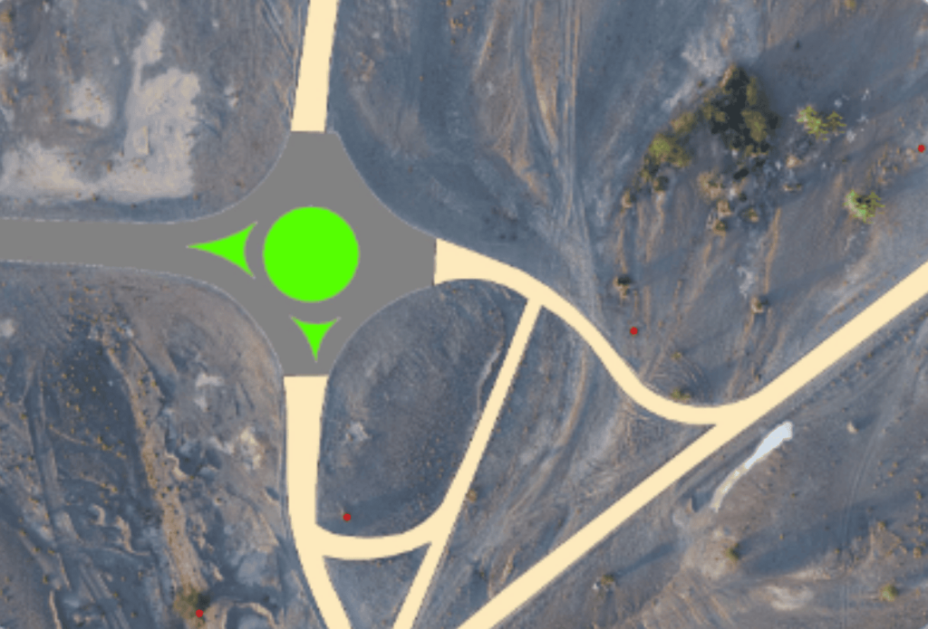
Graphgeo can receive the inputs of various formats such as Cadastral maps, Utility maps, Geology maps and Engineering or Architectural drawing in paper or a scanned image format. we will digitize/convert these maps to digital format according to technical specification provided by the client. we offers and deliver the quality output in various formats as per the client requirements.
1.Land use/Land cover Mapping 2.Flood Mapping/Monitoring 3.Coastal Zone studies 4.Military Intelligence 5.Meteorology, Earth Science & more